radio_button_checked可靠的轨迹记录Reliable recording
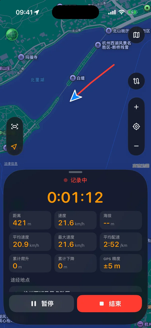
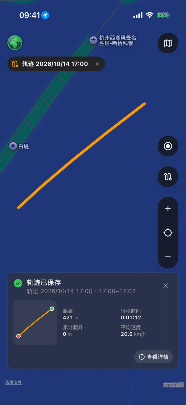
停下来自动暂停,出发自动继续;静止时降低定位频率省电。App 被系统关掉也能恢复,不丢轨迹。Pauses when you stop and resumes when you move; saves power while standing still. Even if the system kills the app, your track is recovered.
navigation沿轨迹导航Follow a track
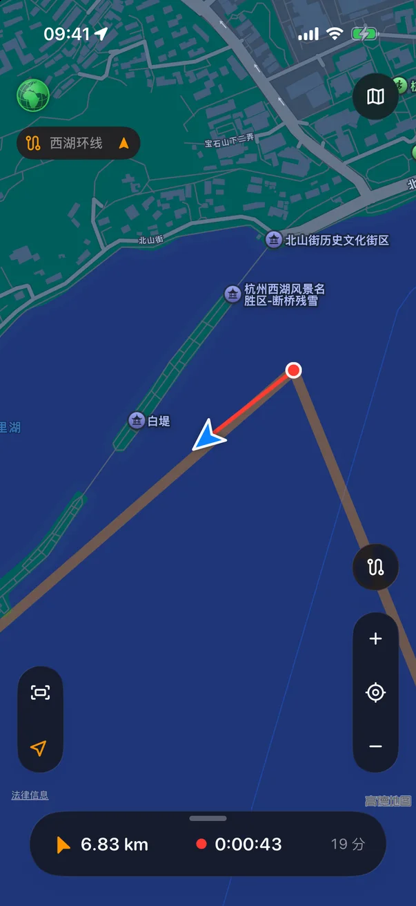
载入走过或别人分享的轨迹,正向反向都能走。偏离路线、回到路线、到达终点都会提醒,可选中文语音。Load a track you walked or one someone shared, in either direction. Alerts when you stray, rejoin or arrive — with optional voice prompts.
map开源地图,离线可看Open maps, offline
OpenStreetMap、地形图、骑行图、卫星图随时切换。浏览过的区域自动缓存,没信号也能看。Switch between OpenStreetMap, topo, cycling and satellite maps. Areas you’ve viewed are cached, so they work without signal.
landscape海拔与途经地点Elevation and places
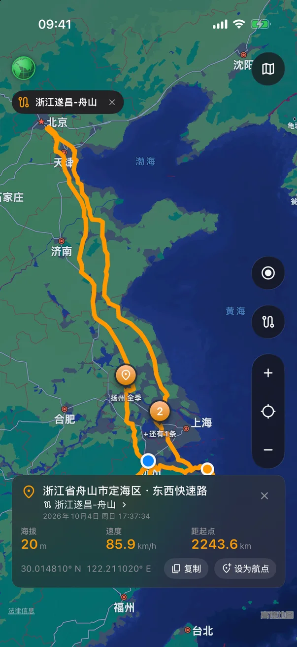
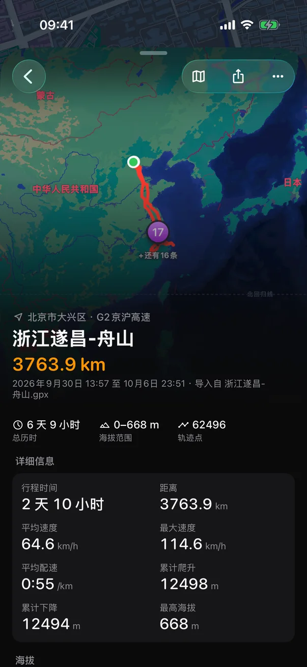
每条轨迹都有海拔曲线、累计爬升,并自动识别沿途经过的地方和停留了多久。Every track gets an elevation profile and total climb, plus the places you passed and how long you stayed.
location_on航点Waypoints
长按地图或在当前位置打点,记下停车处、水源、营地。随时看到距离和方向。Long-press the map or mark where you stand: parking, water, camp. Distance and direction always at hand.
swap_horizGPX / KML / KMZ
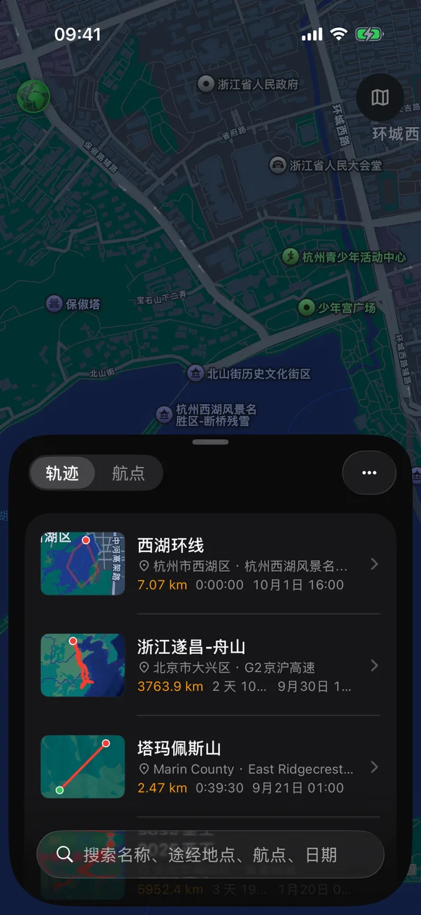
导入两步路、Google 地球等常见格式,也能导出分享。支持从文件、网址或其他 App 分享导入。Import the common formats from other apps and Google Earth, and export to share. Open from files, a link, or another app’s share sheet.